DMRV-as-a-Service for Land-Based Carbon Projects
Remote sensing, mobile-based field data collection, and advanced polygon mapping — everything you need to monitor, report, and verify carbon projects at scale.
Carbon MRV shouldn’t be this hard
Land-based projects often deal with slow verifications, scattered tools, and rising MRV costs. Our SaaS platform changes that — bringing together advanced GIS mapping, remote sensing insights, and mobile-ready data collection in one unified, audit-ready workflow
How It Works
A Complete DMRV Workflow — Simplified, Standardized, Scalable.
Draw Project Boundaries
Use the polygon tool to define, edit, and version project areas with GIS-level accuracy.
Satellite Monitoring
Remote sensing tracks biomass, land cover, and landscape change automatically.
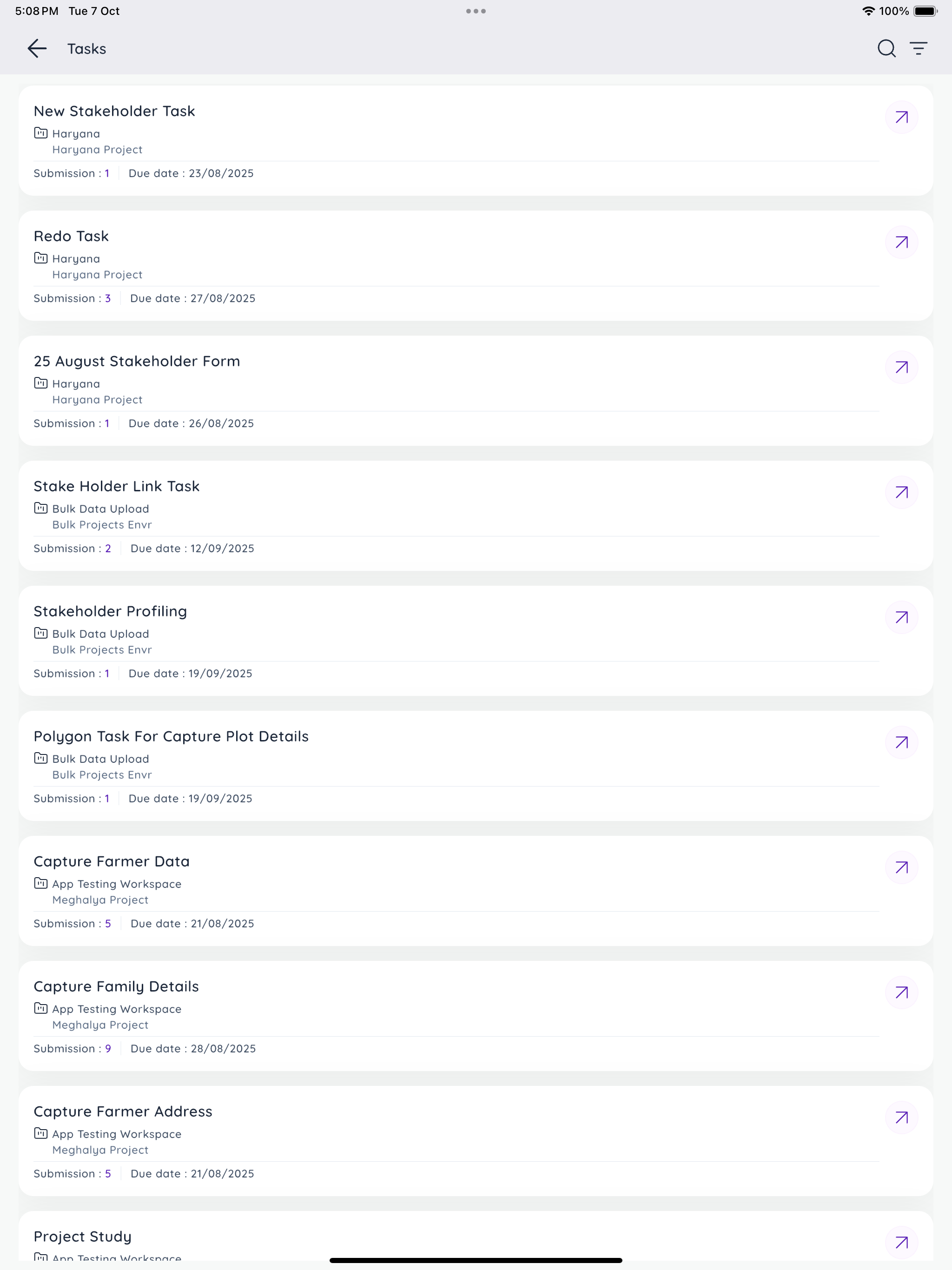
On-Ground Data Collection
Mobile app for guided field surveys, GPS-tagged data, and offline syncing.
Evidence Bundling
Generate shapefiles, reports, and validator-ready datasets in one click.
Validator Review
Share standardized outputs securely for faster reviews and transparent audits.
Core Features
Advanced GIS mapping & project boundary management
Remote sensing analytics for biomass and land cover
Mobile app for field data collection (offline sync + GPS capture)
Centralized evidence bundling for audits and reports
Secure, cloud-based SaaS architecture with role-based access
Stakeholder Benefits
For Project Developers:
Cut MRV time and cost with integrated monitoring and reporting tools.
For Buyers & Corporates:
Gain access to transparent, verifiable data for credible climate claims.
For Auditors & Validators:
Receive standardized, clean datasets that simplify validation and verification.
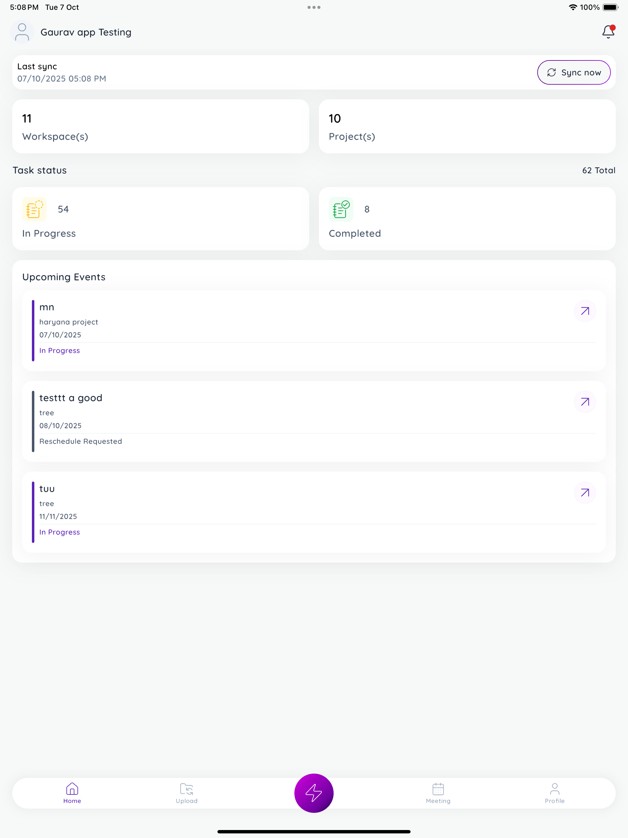
See Your Project in Action
An interactive GIS dashboard that brings together map views, satellite overlays, and field data inputs — all synced in real-time. Export evidence, visualize performance, and share progress instantly.
Audit-Ready and Standards-Aligned
Our outputs are structured to align with leading carbon methodologies and MRV standards. Every dataset is traceable, transparent, and built to integrate smoothly into validator and registry workflows.